Nam Thong 1&2 Dams Hydropower Info - by Hobo Maps - Go to Hydropower Projects Page - - Home
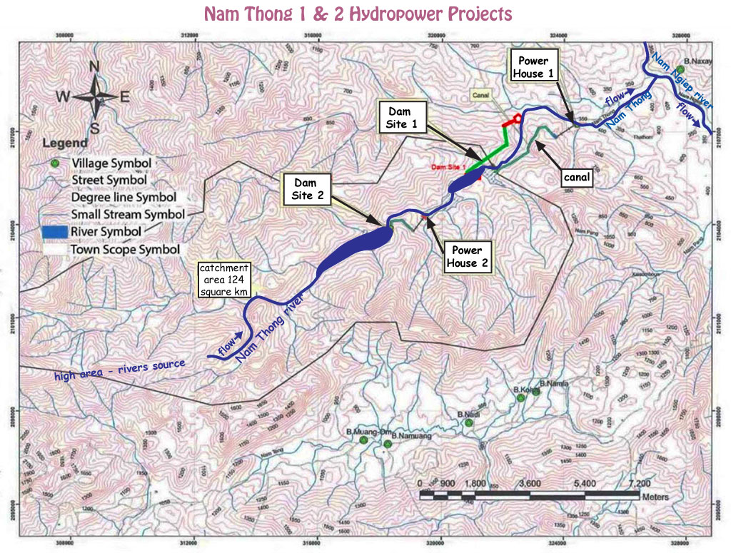
Nam Thong 1&2 Dams project is located near Ban Om Anuvong in Xaysomboun Province of Lao PDR. Located on the last 15 km of the Nam Thong river before it merges into the Nam Ngiep river near the town of Vieng Thong along National Road 1D.
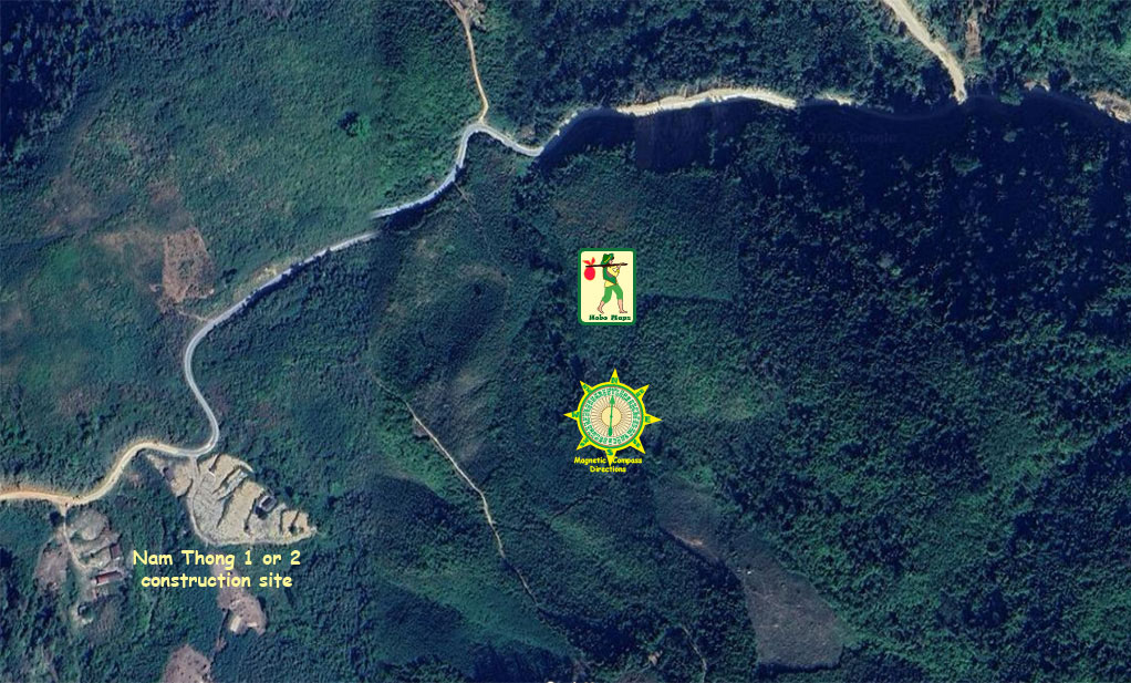
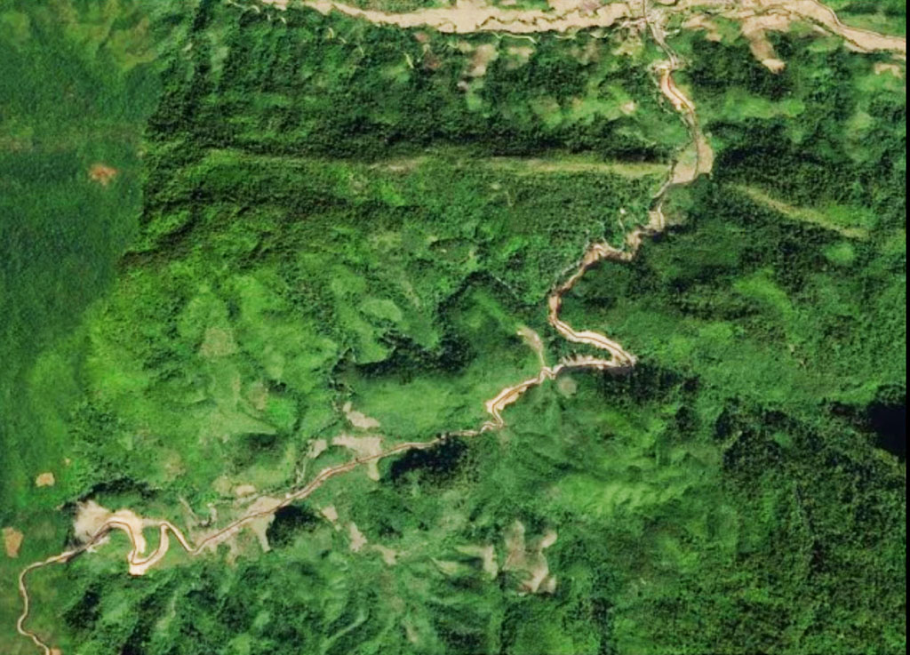
Nam Thong 1&2 project has a spread-out cascade-style layout with the mid-point Dam 1 located at coordinates 19°02'16.8"N 103°20'19.8"E (19.037989, 103.338825) at red marker on the satellite image below.
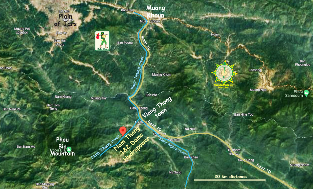
Nam Thong 1&2 project located in center of image below.

Nam Thong 1&2 HPP is apparently being developed by Namthong Group or AQA Group. A web page has the project owner as Namthong Hydropower 1&2 Co. Ltd.
It seems that Suriyant Bert Phontha (Thai) has an ownership interest or is the sole owner.
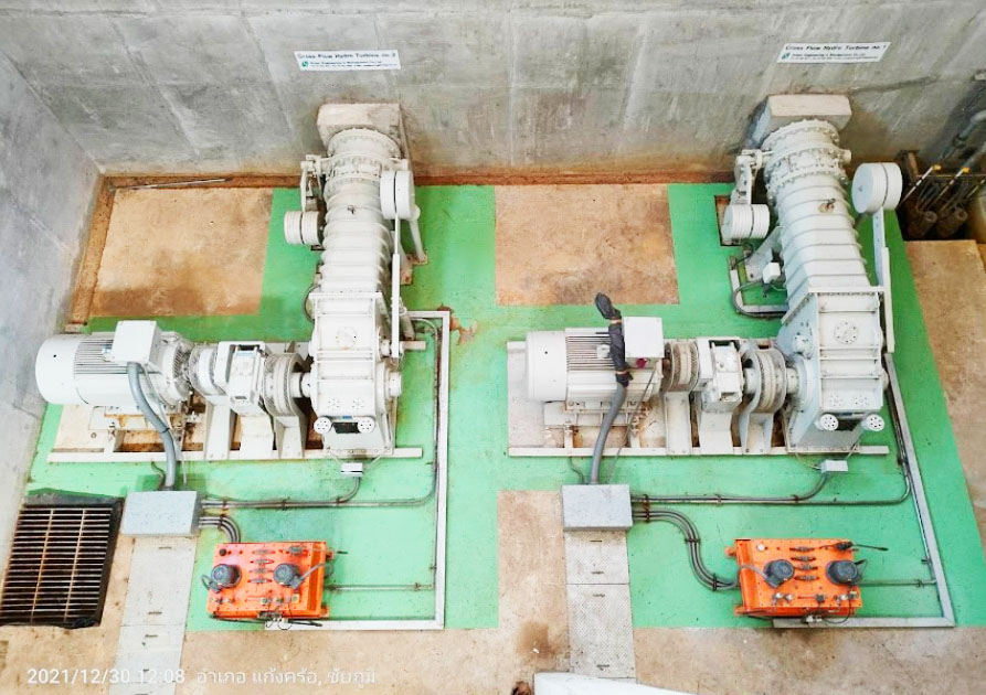
From the image below of the generators it seems as if the total output from these two units would be less than 20 MW.
Nam Thong project generator & turbine image below from 2021 - unsure if for powerhouse 1 or 2.
Nam Thong project penstock & powerhouse images below but not sure if for 1 or 2.

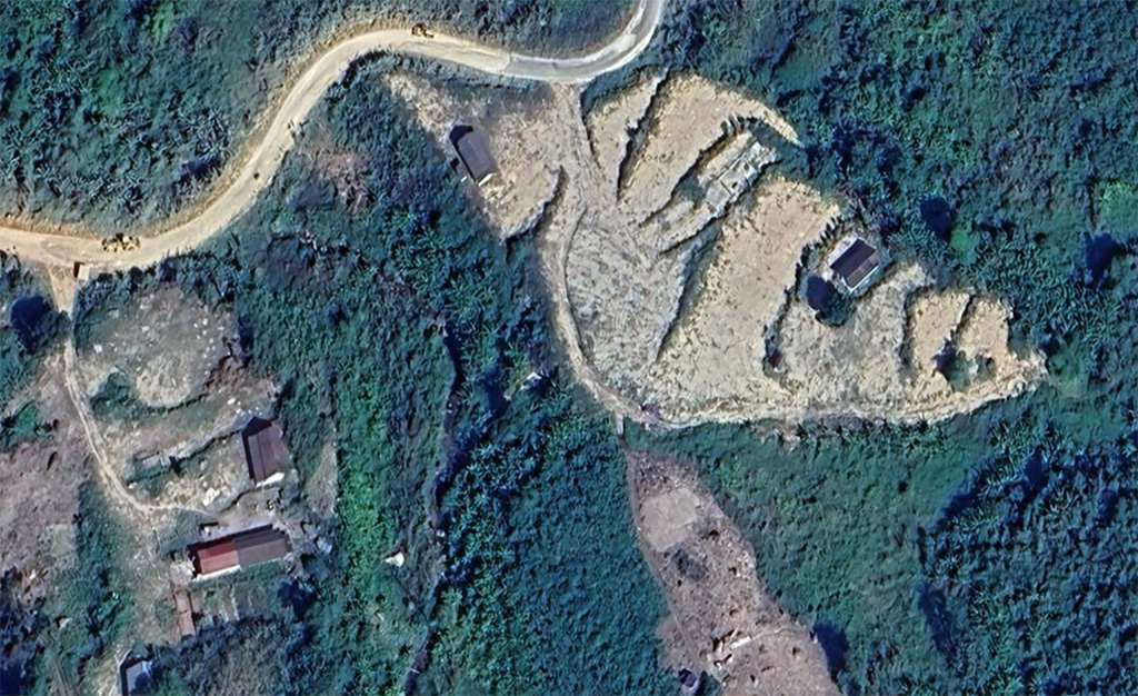
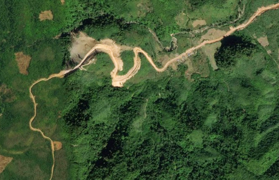
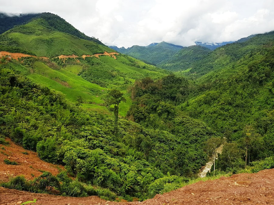
Nam Thong project construction images below but unsure where 1 & 2 are precisely.
Nam Thong project switch yard image below beside one of the two powerhouses.

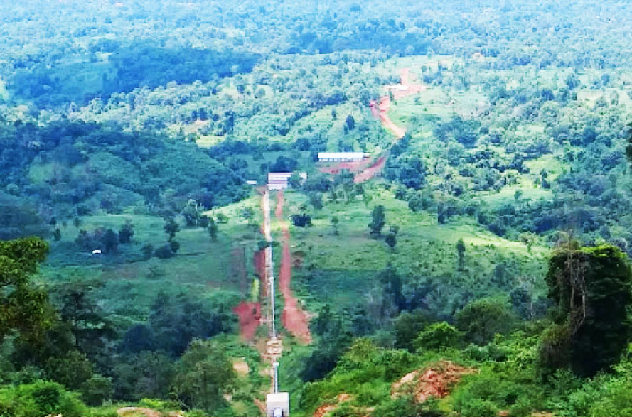
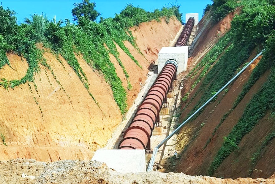
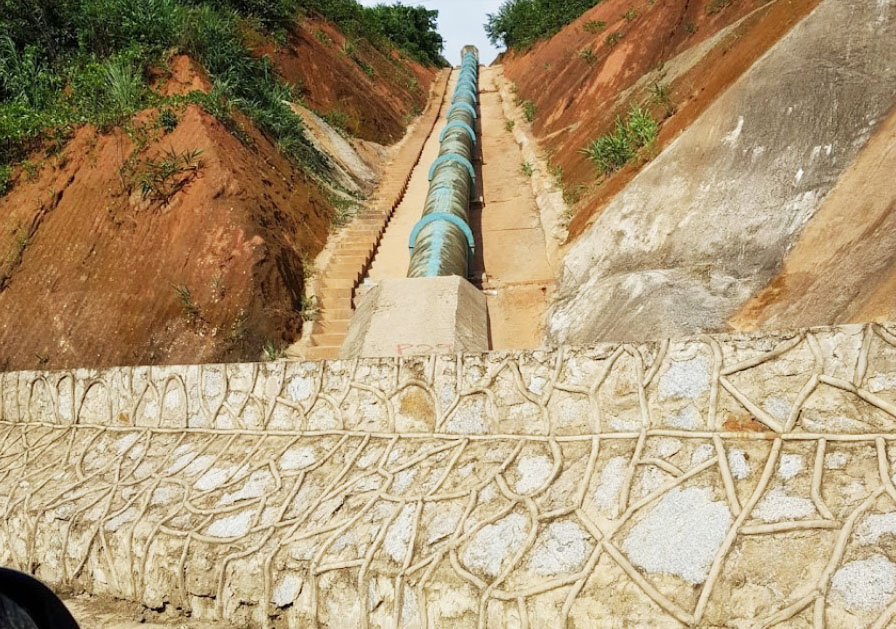
Nam Thong project pipeline images below - unsure if for 1 or 2 or both.
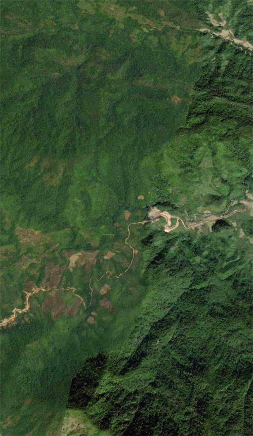
Nam Thong 1&2 project area image below:
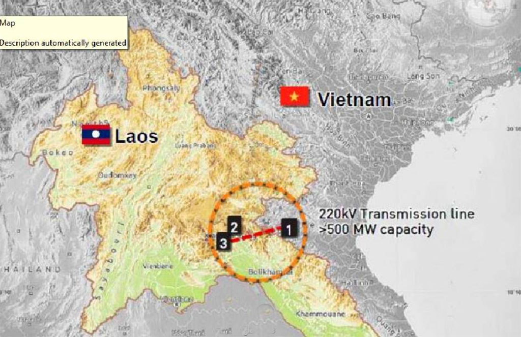
Nam Thong project may hope to send its output to Vietnam along the Nam Mo 2 transmission lines below.
![]()
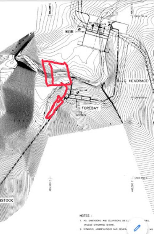
Nam Thong project diagram below from weir to penstock but unsure if for 1 or 2.
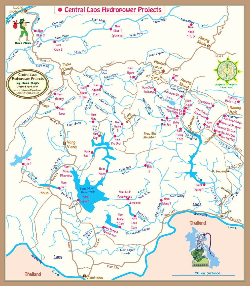
Nam Thong 1&2 located in mid-right area of map below:
Nam Thong 1 & 2 construction site images below.