Nam Sana Dam Hydropower info by Hobo Maps - Go to Hydropower Projects Page - - Home
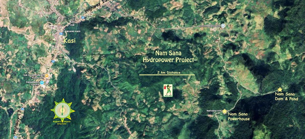
Nam Sana Hydropower Project is owned by EDL GEN and is located on a tributary of Nam Lik River near the town of Kasi (Kasy) in Kasi District, Vientiane Province central Lao PDR about 7.5 km east of National Road 13 north.
Nam Sana Hydropower locations below:
The site has a small watershed catchment area of about 96 square km.
The Nam Sana Project is a run-of-river-project with medium head (elevation drop) of about 160 meters.
Installed capacity is 14 MW (3 units of 4.69 MW each) with average annual output of 50 GWh.
The project is 100% owned and operated by EDL GEN.
Thai-based Nawarat was the main construction contractor.
The project is fully completed and began operating commercially on August 9, 2014.
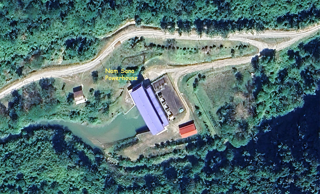
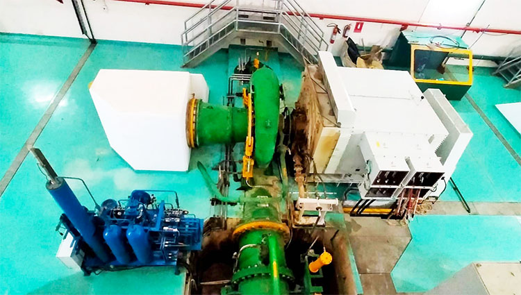
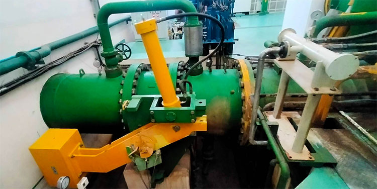
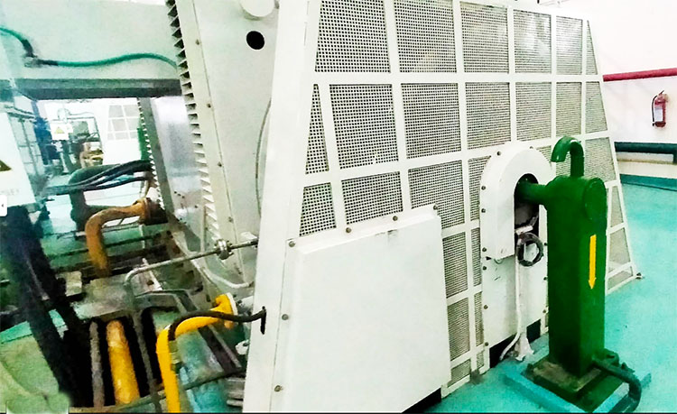
Nam Sana Powerhouse images below:


Nam Sana site images below:


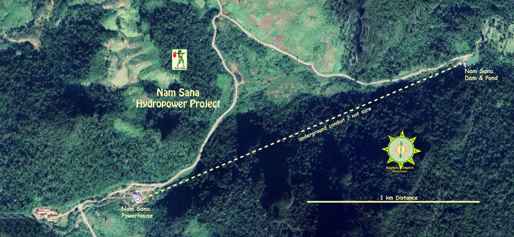
The Nam Sana Hydropower Project consists of a small weir about 7 meters high, a 1,140 meter long headrace box culvert, a surge tank 5.0 meters in diameter, a 1,390 meter long penstock, a small powerhouse of 14 MW installed capacity and two sections of 22 kV transmission line about 60 km long.
Nam Sana surge tank image below:

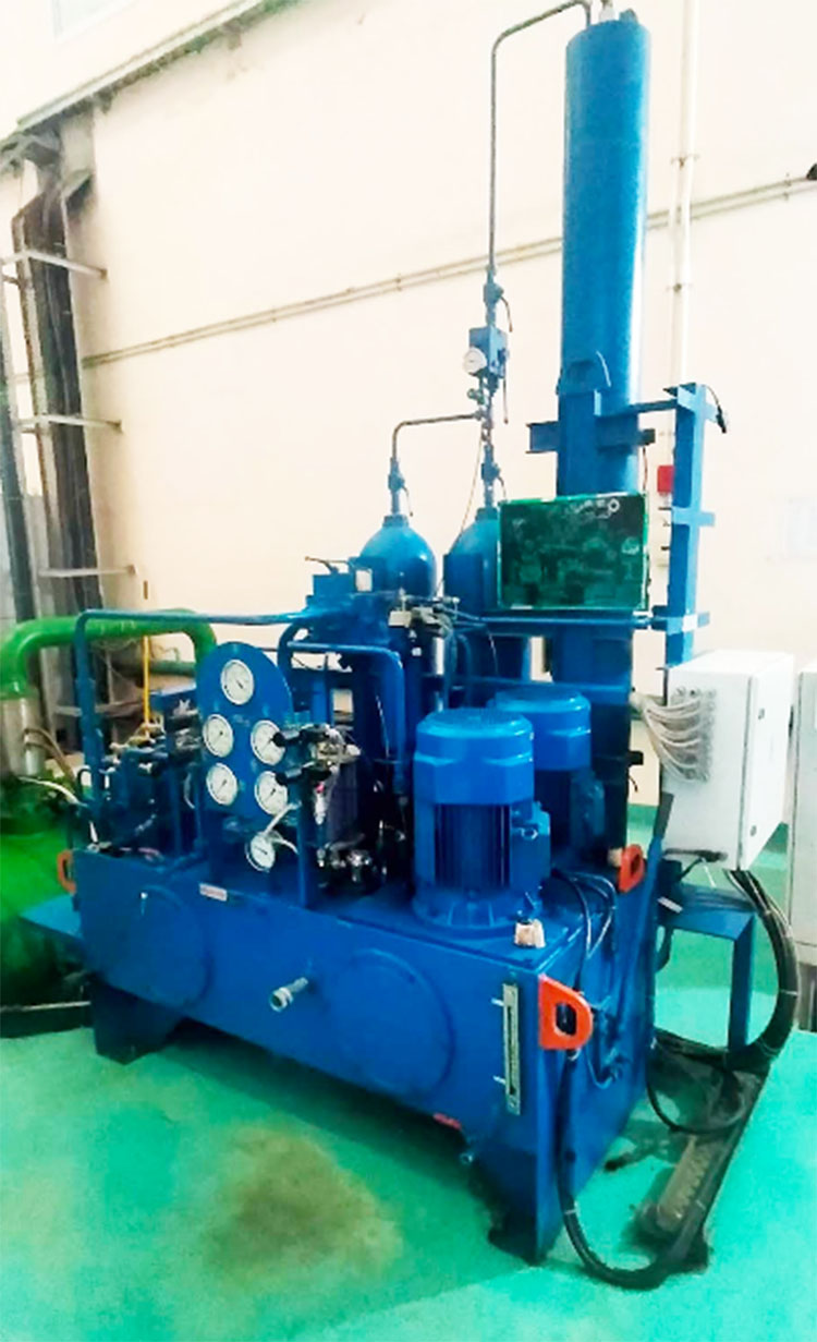
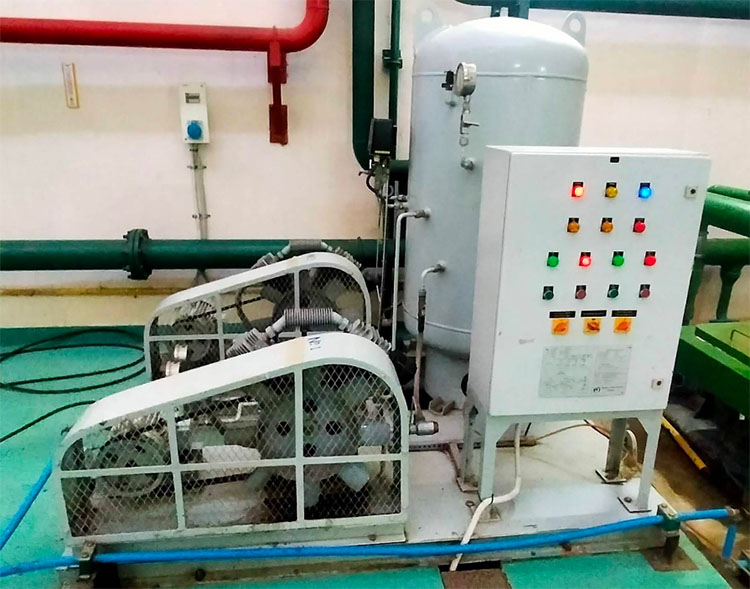
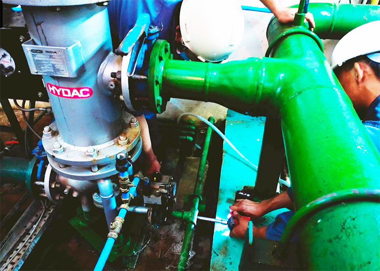
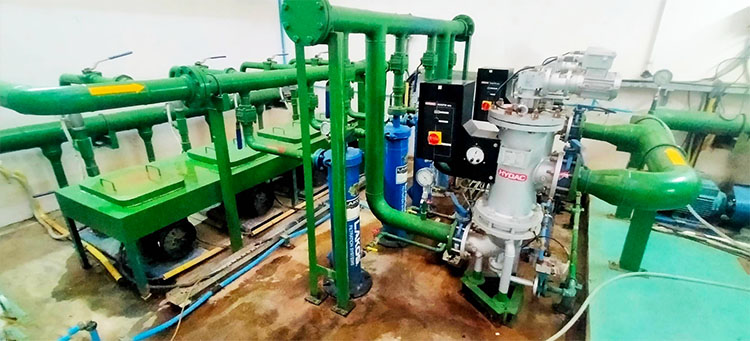
Nam Sana Powerhouse site images below:

The weir of the Nam Sana project has a height of 7 meters and length of 29.5 meters. The weir crest elevation is at 642 meters above sea level.
Nam Sana Dam & Pond image below at 19°12'43.6"N 102°19'46.9"E (19.212111, 102.329694):
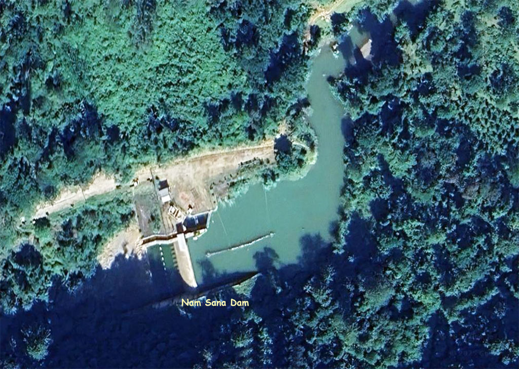
Nam Sana weir image below:


See nice Nam Sana Dam video HERE .
Nam Sana control room image below:

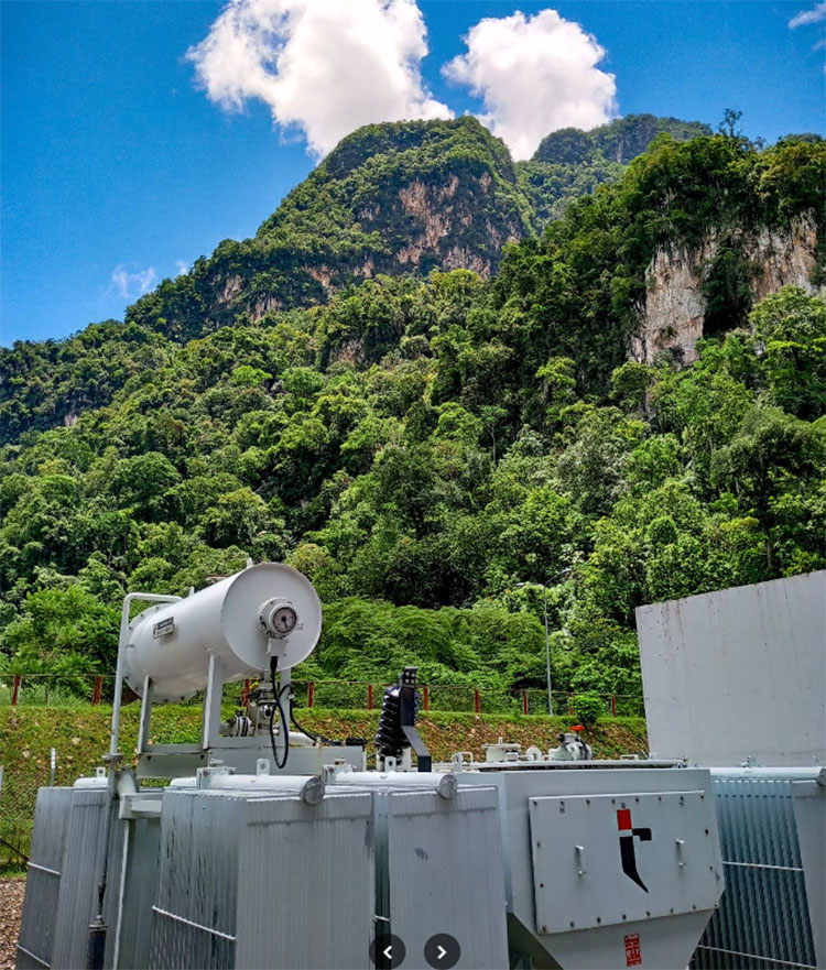
Nam Sana switchyard image below:
![]()
Nam Sana power transmission route image below:
![]()
Nam Sana Powerhouse interior image below.


Nam Sana Dam location shown on left side of map below:
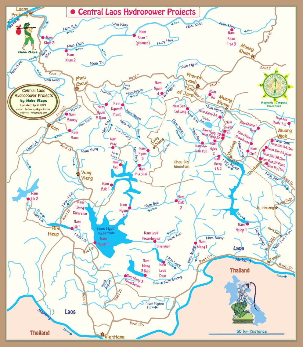
Topographic map below shows dam project in circles:

The Nam Sana project apparently qualifies as a Clean Development Mechanism (CDM) project under the Kyoto Protocol allowing it to receive carbon emission reduction credits. The project will help result in CO2 emission reduction as it's output may displace power generation that otherwise would be based on combustion of fossil fuels. The reduction in carbon dioxide emissions is estimated to be 25,335 tons per year. View or download the CDM application document HERE .
Nam Sana HPP logo below from their Facebook Page - HERE .


Images below from Ody Daoheuang dated April 2022

Nam Sana area watershed basin image below.
