Houay Chiad (Chiat) Dam Hydropower Info by Hobo Maps - Go to Hydropower Projects Page - - - Home
This is a 8 MW capacity project with estimated annual output of 38.56 GWh located on Houay Yoi stream in Pakson District of Champasak Province, Lao PDR.
It has a small reservoir and has reportedly been in operation since 2018.
We are unsure of the owner / developer of this project or who may be taking the output.
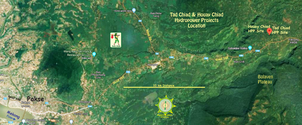
Houay Chiad HPP & Tad Chiad HPP are located close together about 30 km northeast of Pakse city as on the satellite images below.


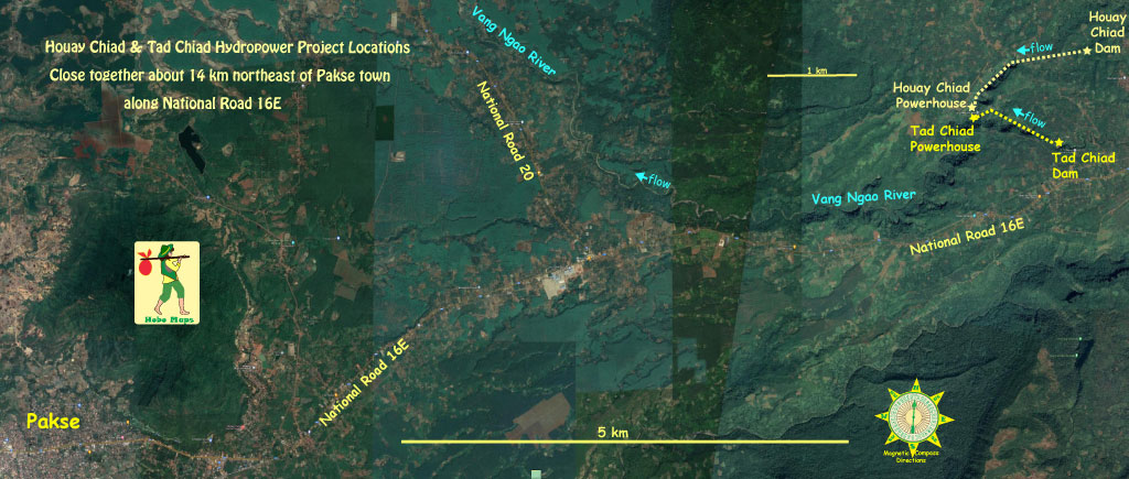
Houay Chiad dam and reservoir are located at coordinates 15°13'02.7"N 106°05'38.3"E (15.217417, 106.093972).

A channel carries water from the reservoir about 3 km down to the penstock close to the powerhouse.
Houay Chiad powerhouse coordinates are 15°12'15.6"N 106°04'32.9"E (15.204339, 106.075800).

This image below also shows portions of the Tad Chiad hydropower project in the same area.

The powerhouse for the Houay Chiad project is only 200 meters north of the Tad Chiad powerhouse and both seem to discharge their tailrace water into the Vang Ngao river.
Tad Yoi waterfall image below:

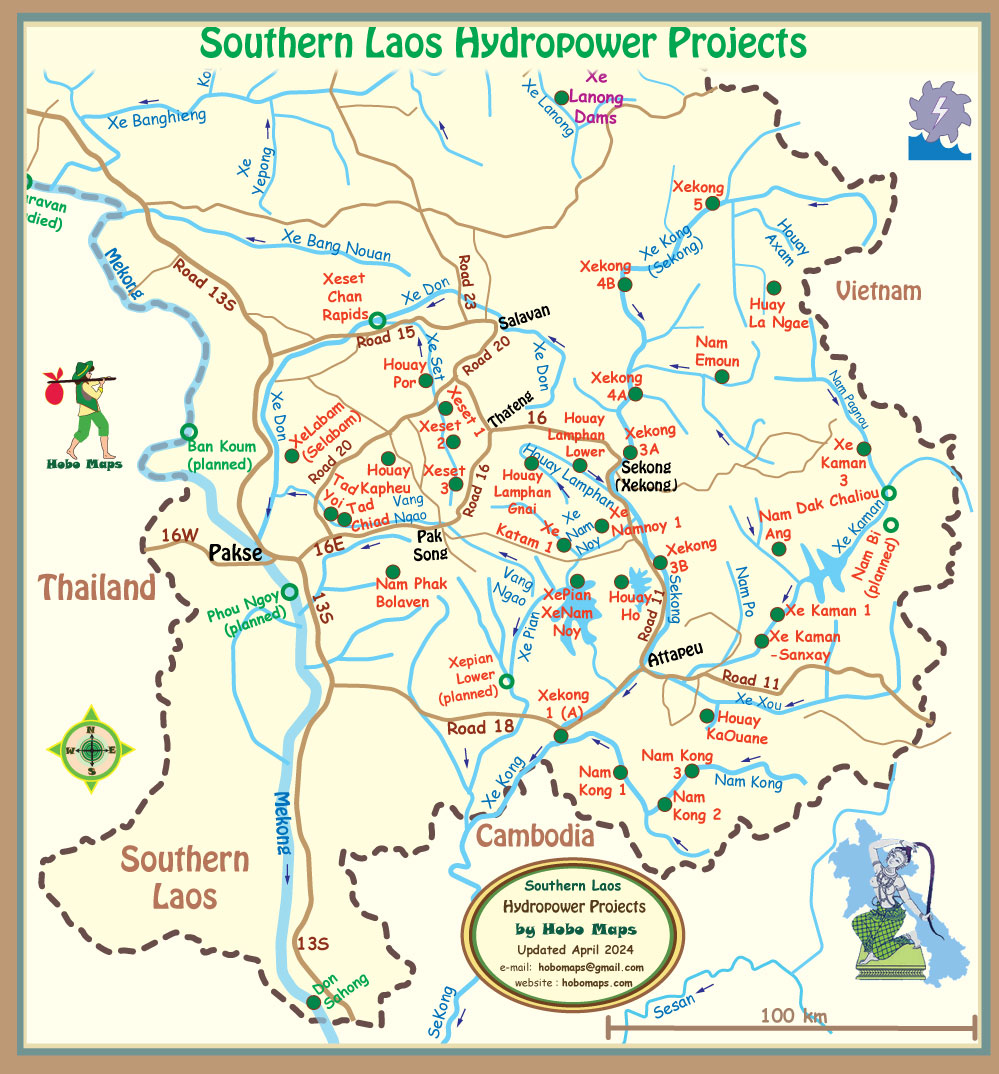
Houay Chiad hydropower project is located next to the Tad Chiad project as seen in mid-left part of Southern Laos map below between Pakse and Pak Song:

There is reportedly an unrelated hydropower project further upriver on Houay Yoi called HouayYoi-HouayKod at coordinates 15.238721, 106.109615 .